
World
Typhoon Opong Intensifies; Signal No. 4 Raised in Eastern Visayas and Bicol
Gaudencio Roxas
06 Nov, 2025
Typhoon Opong, internationally known as Bualoi, intensified on the evening of Thursday, September 25, leading the Philippine Atmospheric, Geophysical and Astronomical Services Administration (PAGASA) to raise Signal No. 4 over five provinces in Eastern Visayas and the Bicol Region.
Previously classified as a severe tropical storm with maximum sustained winds of 110 kilometers per hour (kph) and gusts reaching 135 kph, Opong strengthened to 120 kph sustained winds near its center, with gusts accelerating up to 165 kph by 11 p.m. The system was moving west-northwest at 25 kph at the time.
PAGASA tracked the typhoon's center over the coastal waters off Dolores, Eastern Samar, and expects the first landfall to occur between midnight and early Friday, September 26, either in Northern Samar or northern Eastern Samar. A second landfall may follow Friday morning over Sorsogon or Masbate before the typhoon progresses through Bicol, southern Calabarzon, and northern Mimaropa.
By early Saturday, September 27, Opong is anticipated to move over the West Philippine Sea where it could re-intensify before exiting the Philippine Area of Responsibility.
Cyclone Warning Signals:
Signal No. 4, the second-highest storm warning, is currently enforced over Northern Samar, northern and central Eastern Samar, Samar, Sorsogon, and the eastern part of Masbate including Ticao Island.
Signal No. 3 covers the remainder of Masbate (including Burias Island), Albay, western Camarines Sur, southern Quezon, Marinduque, Romblon, central and southern Oriental Mindoro, other parts of Eastern Samar and Samar, northern Leyte, and Biliran.
Signal No. 2 is in place for Catanduanes, remaining areas of Camarines Sur and Camarines Norte, central and eastern Quezon, Laguna, Rizal, Cavite, Batangas, Oriental Mindoro (excluding central and southern parts), Occidental Mindoro (including Lubang Islands), Calamian Islands, Metro Manila, southern Bataan, eastern Southern Leyte, northern and central Leyte, northern Cebu (including Camotes and Bantayan Islands), northern Negros Occidental, Capiz, Aklan, northwestern Antique (including Caluya Islands), Dinagat Islands, Siargao Islands, and Bucas Grande Islands.
Signal No. 1 has been issued for central and southern Isabela, Quirino, Nueva Vizcaya, Ifugao, southwestern Mountain Province, Benguet, southern Ilocos Sur, La Union, Pangasinan, Aurora, Nueva Ecija, Tarlac, Zambales, remaining Bataan, Pampanga, Bulacan, remaining Quezon, Cuyo Islands, northern mainland Palawan, remaining Southern Leyte, eastern and central Bohol, central Cebu, northern Negros Oriental, northern and central Negros Occidental, central Iloilo, central Antique, and the rest of Surigao del Norte.
Rainfall Forecast:
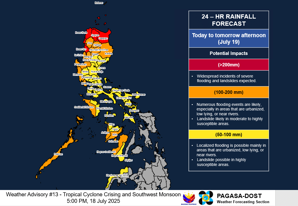
PAGASA warns that Opong is likely to drop moderate to torrential rain over parts of Luzon and Visayas for the next 48 hours.
From Thursday evening through Friday evening, areas such as Northern Samar, Eastern Samar, Samar, Biliran, Sorsogon, Masbate, Oriental Mindoro, and Romblon may experience intense to torrential rainfall exceeding 200 millimeters.
Heavy to intense rains between 100 to 200 millimeters are expected over Occidental Mindoro, Quezon, Batangas, Camarines Norte, Catanduanes, Camarines Sur, Albay, Marinduque, Aklan, Capiz, Cebu, Bohol, Leyte, Southern Leyte, and Dinagat Islands.
Moderate to heavy rains ranging from 50 to 100 millimeters could affect Aurora, Laguna, Cavite, Metro Manila, Bataan, Rizal, Camiguin, and Surigao del Norte.
From Friday evening to Saturday evening, heavy rainfall is projected to continue in Occidental Mindoro, Oriental Mindoro, Batangas, and Cavite, while Laguna, Marinduque, and Romblon may see moderate to heavy showers.
The southwest monsoon (habagat), amplified by Opong, is also expected to bring heavy to intense rains to Antique, Iloilo, Guimaras, and Negros Occidental from Thursday evening through Friday evening, with moderate to heavy rains affecting Palawan, Negros Oriental, and Siquijor. This pattern is likely to persist into Saturday for select areas.
Storm Surge Advisory:
A dangerous storm surge exceeding three meters is forecast within the next 36 hours, threatening low-lying coastal zones across numerous provinces including Zambales, Bataan, Metro Manila, Calabarzon, Oriental Mindoro, Occidental Mindoro (including Lubang Islands), Marinduque, Romblon, Palawan, the Bicol Region, Northern Samar, Eastern Samar, Samar, Biliran, Leyte, Cebu, Aklan, Antique, Capiz, Dinagat Islands, and Siargao Island.
Authorities caution mariners using small boats and motorbancas to exercise extreme caution or avoid sailing while hazardous conditions persist.
Recommended For You

DSWD-Davao Disburses PHP700,000 in Stipends to Youth Interns, Expands Skills Training Initiatives
Nov 06, 2025
Lorenza Manguera

Senator Tulfo Condemns PNVF Over Media Blackout and Ticket Pricing at Volleyball Championship
Nov 06, 2025
Soledad Evangelista

Senate Hearing Reveals Clash Over Justice and Law in Flood-Control Scam Probe
Nov 06, 2025
Soledad Evangelista

Lawmaker Criticizes Ombudsman Over Handling of P15-Billion Anti-Corruption Funds Amid Flood Control Scam
Nov 06, 2025
Lorenza Manguera